

At Site Layout, we deliver high-quality civil engineering and planning services for projects across all sectors — residential, private, and public. Our expertise integrates technical excellence with advanced geospatial technology, ensuring that every project is practical, efficient, and sustainable. Using state-of-the-art drone mapping, 3D modeling, and simulation tools, we provide accurate data and innovative solutions that help our clients achieve meaningful economic and operational benefits
From site design to roadway systems and water infrastructure, we provide comprehensive civil and infrastructure engineering solutions for all project types.
Civil Site Design
Major & Minor Roadway Design
Water & Wastewater Design Systems
Land Development, Subdivisions & Master Planning
Hike/Bike & Jogging Path Design
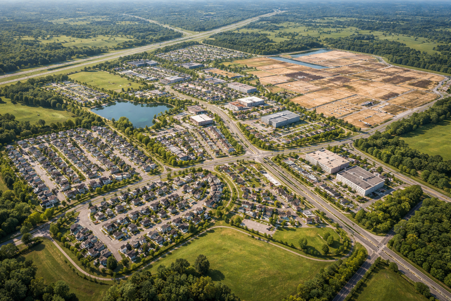
We analyze and manage water resources with precision — stormwater systems, hydraulic modeling, and flood zone mitigation to protect your project investments.
Stormwater Management
Hydrology & Hydraulics Analysis
Flood Zone Mitigation
Drainage Design
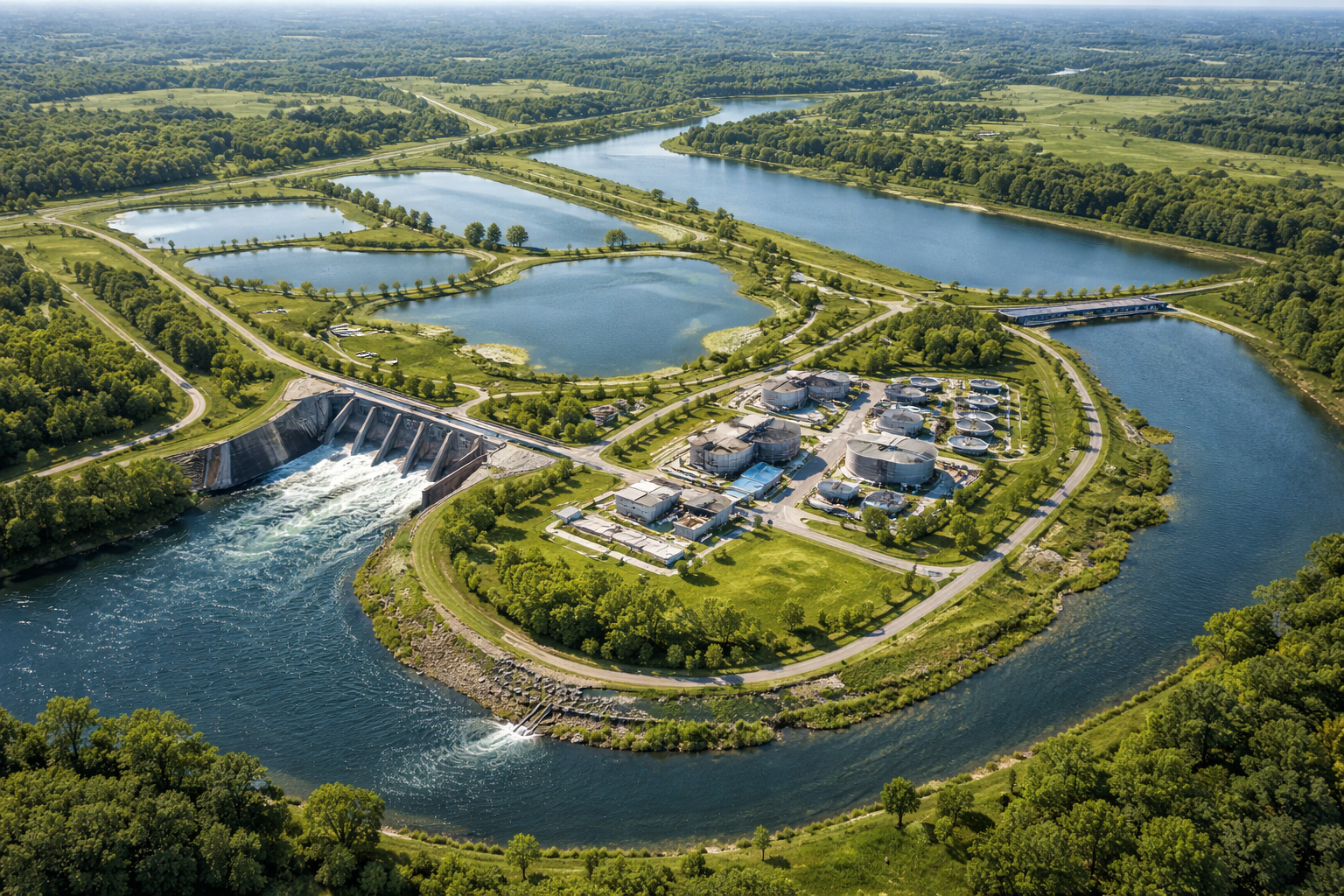
Leveraging cutting-edge drone technology, LiDAR, and 3D scanning for accurate mapping, critical infrastructure inspection, and feasibility studies.
Drone Photography & LiDAR Mapping
Critical Infrastructure Inspection
As-Built Inspection
Feasibility Studies
3D Scanning

From cost estimation and scheduling to plan preparation and agency coordination, we manage every phase of your project with expert precision.
Construction Cost Estimates
Construction Management
Plan Preparation
Agency Coordination
